

INNOVATIVE SOLUTIONS
FOR
SUSTAINABLE
FUTURE

Menu


About
Sustaina Greens
Sustaina Greens is a GreenTech consulting firm that offers technically feasible solutions to assist public and private sector organisations in characterising, evaluating, quantifying, and managing their relationship with the natural world and associated climate risks. We provide integrated industrial solutions that address today’s sustainability issues and adherence to pertinent comprehensive compliances. These solutions cover Ecology & Environment, Biodiversity, Conservation, Natural resource management, Renewable energy, Circular economy, Remote sensing, Sustainable Finance, Life-cycle Assessments, Training modules & Skill-development internships, CSR projects, and innovative product development.
Our Milestones,
By the numbers
Every number here represents real people, real programs, and real change. This is what we've built — together.
Trustimonials
Hear from our clients about their experience working with us. We take pride in delivering impactful and reliable sustainability solutions.
Our Clientele
Association & Membership
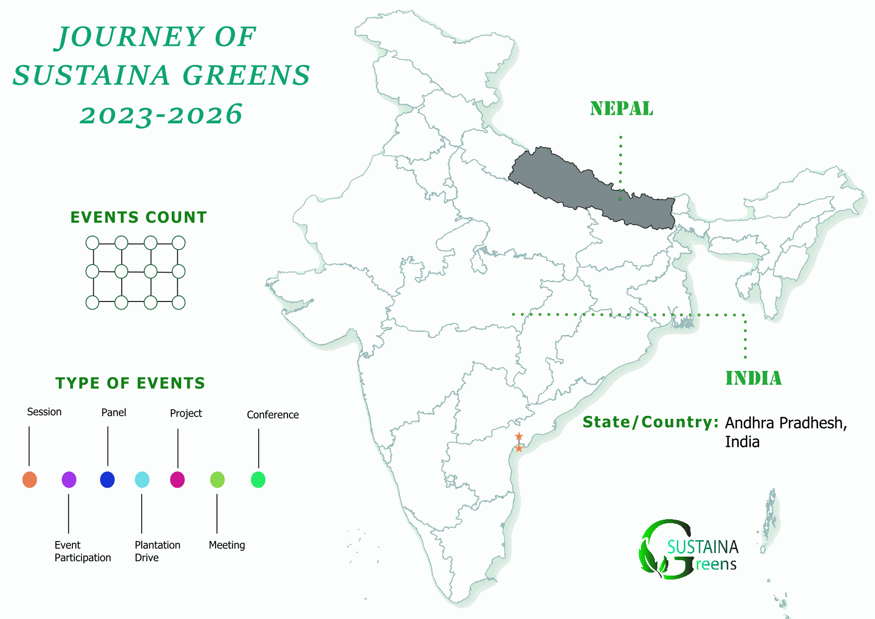
Expanding our footprint across regions with diverse environmental projects. Delivering local insights with a global sustainability perspective.
Our Presence

Site Map

GST - 24AEZFS6081A1ZQ